MetService is warning that New Zealand's clear start to the week will be short-lived, with wetter and windier weather expected to move across the country from late Tuesday. The forecaster said a narrow ridge of high pressure brought sunshine and a calm beginning to the week, but meteorologist Heather Keats said a low-pressure system from the northwest would bring an active spell of weather. New fronts are expected to arrive very late Tuesday night and move through on Wednesday.
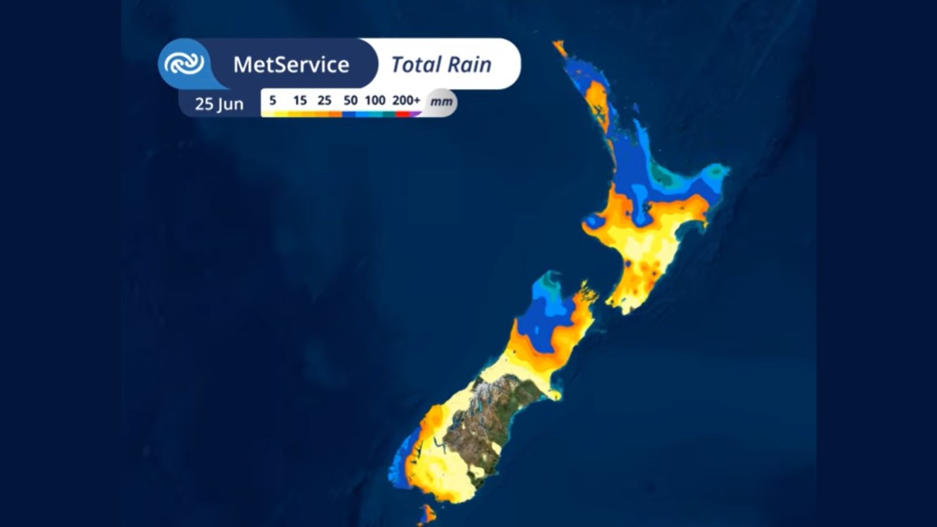
The areas most exposed to heavy rain are the northeast of the North Island and the northwest of the South Island. Keats said some places could receive up to 200mm of accumulated rain. MetService also warned of strong or severe gales across much of the North Island, followed by a significant temperature drop. The South Island is expected to return sharply to winter conditions first, with chillier North Island days following later in the week. People in affected areas have been told to watch for severe weather watches and warnings.
The timing is a reminder that winter weather can switch quickly even after a bright day. Clear skies can make the start of a week feel settled, but a developing low can change conditions for roads, ferries, farms, construction sites and outdoor work within a day or two. Heavy rain matters most where soils are already wet, rivers respond quickly, or slips have been a recent problem. Strong winds create a different risk profile, particularly for high-sided vehicles, exposed bridges, coastal areas and power networks.
MetService meteorologist Alwyn Bakker said the ridge had given many areas a reprieve from weekend wild weather, but the break would not last. He said the low-pressure system was set to bring heavy rain to many areas from Wednesday, especially northern and central parts of the country. Strong winds would follow, with a risk of severe gales for eastern parts of the North Island on Thursday and Friday. That sequence means the same system may create both rainfall and wind hazards over several days rather than one short burst.
The forecast also sits beside a more unusual contrast: NIWA has said a meteorological drought is developing in parts of Canterbury after conditions dried rapidly from a wet start to 2026. That does not contradict the heavy-rain forecast. It shows how regional New Zealand weather can be uneven. One part of the country may be preparing for intense rain while another is watching drought indicators. Farmers, councils and households therefore need local information rather than a single national shorthand.
For the public, the practical message is to check forecasts before travel, secure loose outdoor items, avoid unnecessary exposure during severe wind, and take official warnings seriously if watches are upgraded. Weather stories are often treated as routine until they disrupt a commute or farm plan. This system has enough rain, wind and temperature change in it to merit attention before it arrives. The safest assumption is that Monday's calm does not describe the rest of the week.