MetService is warning much of New Zealand to prepare for another frosty start after a cold snap sent temperatures well below zero across inland centres and pushed electricity supply management back into the public conversation.
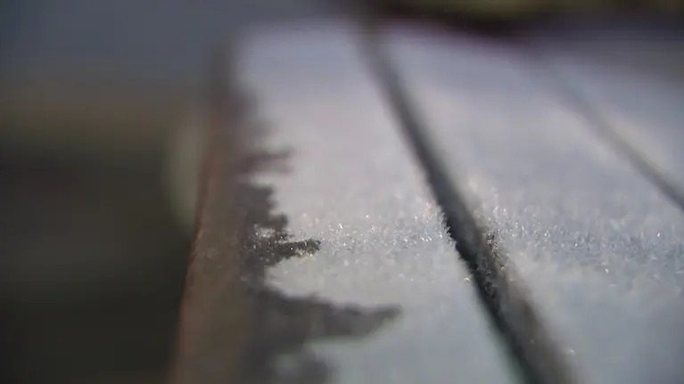
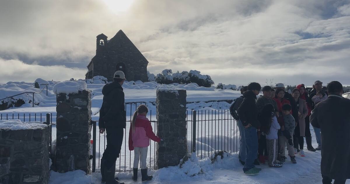
1News reported on Monday evening that Monday morning brought some of the coldest temperatures of the year so far. Taupo fell to -5.6C, Rotorua to -3.9C, Hamilton to -2.8C, Masterton to -4.4C and Christchurch to -4.7C. Lake Pukaki was among the coldest places, dropping to about -8C. MetService meteorologist Devlin Lynden said the pattern was driven by clear skies and light winds, which allow heat to escape easily before sunrise and let cold air settle in sheltered inland valleys.
The forecast was not simply for one sharp morning. Lynden said much of the country was likely to see another frosty Tuesday start, with widespread frosts across the North Island and inland parts of the South Island. Fine conditions were expected from Waikato through to Wellington, including the central North Island, while Nelson, Marlborough, Canterbury and much of Otago were also expected to stay mostly fine. Showers were possible around Fiordland, Stewart Island and parts of Southland, while isolated showers in Hawke's Bay and Gisborne were expected to clear.
The weather story also has an energy angle. Transpower told 1News it had been working with electricity companies to manage periods of tight supply, because the cold weather increased power use while low wind reduced wind-farm generation. Executive general manager operations Chantelle Bramley said industry notices had been issued so more generation could be made available. She said the notices were part of normal operating processes and were triggered when backup electricity supply fell below, or was forecast to fall below, 200 megawatts.
Importantly, Transpower said it was not anticipating any impact on electricity supply to consumers based on the current forecast. That means the public message is preparation, not alarm. Households should still take the cold seriously, especially older people, young children, people in damp homes and anyone relying on medical equipment or electric heating.
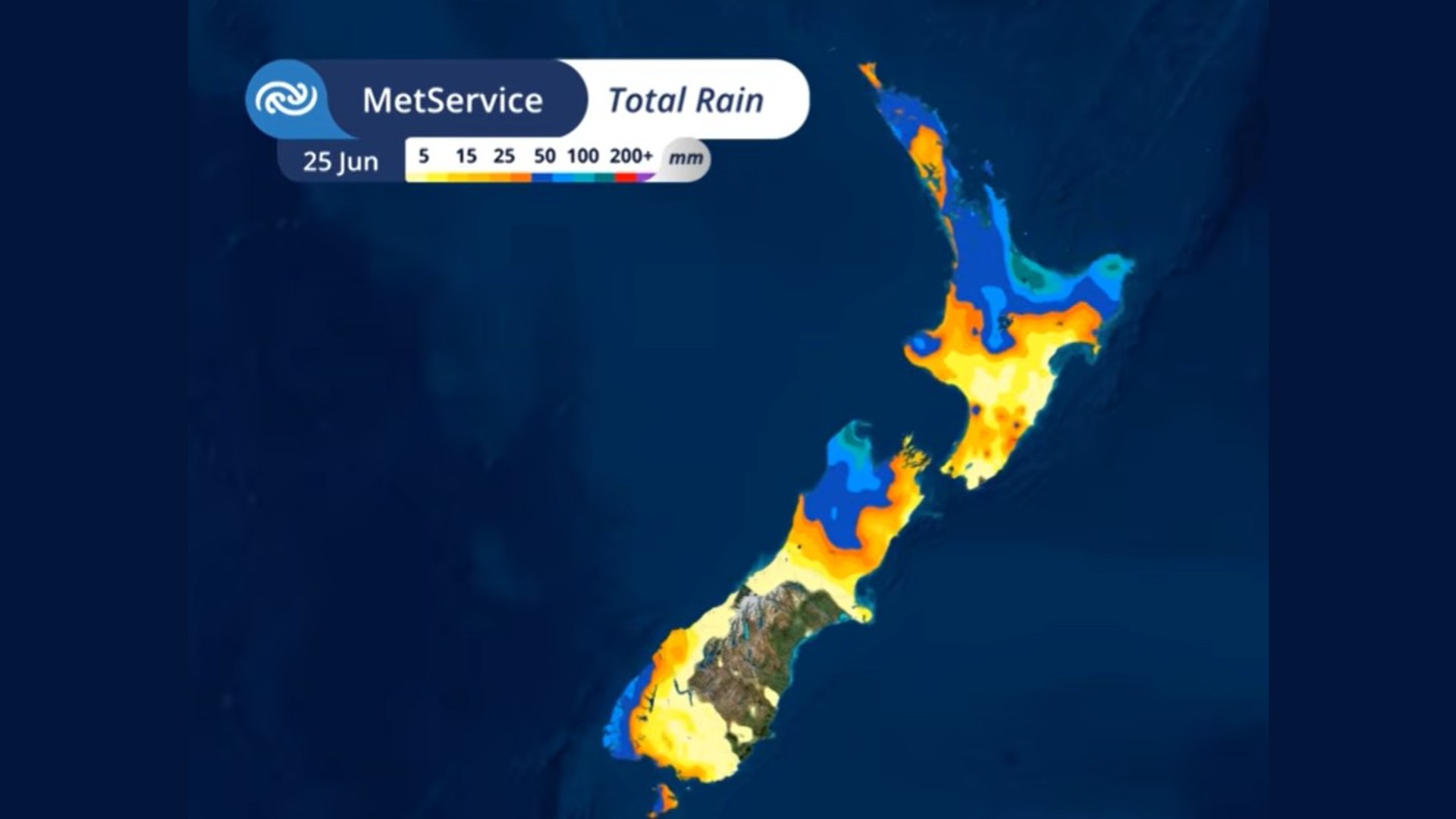
The rest of the week is expected to change again. 1News reported MetService expected settled weather to continue for much of the North Island on Wednesday, with possible cloud and showers in the far north and south. In the South Island, showers in the west were forecast to turn to rain, before a front moved onto the country on Thursday and spread rain across much of the South Island and into parts of the North Island.
That shifting pattern matters for drivers and rural communities. Frost can make shaded roads dangerous after sunrise, while a later front can bring rain, wind and snow risk to alpine passes and ski-field roads. Farmers, freight operators and travellers should watch local forecasts, because a national cold snap does not land evenly across every valley, highway or farm.
For Kiwi News Desk readers, the practical advice is straightforward: allow extra time on cold roads, protect exposed pipes where needed, check on vulnerable neighbours and keep an eye on official MetService updates as the Thursday front approaches. The coldest morning may already be behind some centres, but the weather system is not finished with the week.