MetService meteorologist Michael Pawley says Lake Tekapo recorded New Zealand's coldest night of the year so far, with the air temperature dropping to minus 12.5C in the early hours of Sunday.
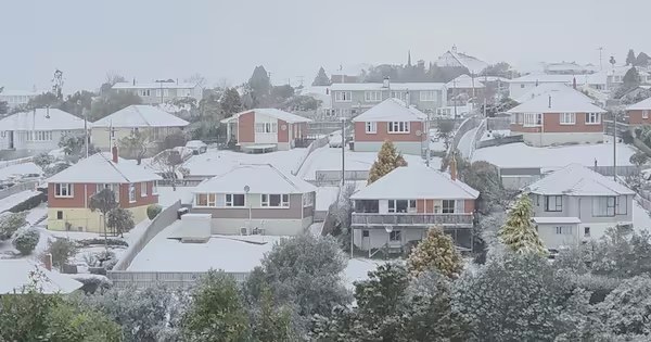
The cold was not limited to the Mackenzie Basin. Pawley said several places recorded their coldest night of the year, including Auckland Airport at 2.5C, Christchurch Airport at minus 3.8C, Taupo Airport at minus 4.2C and Mount Cook Airport at minus 11.5C. In the North Island, temperatures fell as low as minus 6.2C around the central plateau. Sub-zero air reached unusually far north, with inland parts of Northland likely to have had a frosty start.
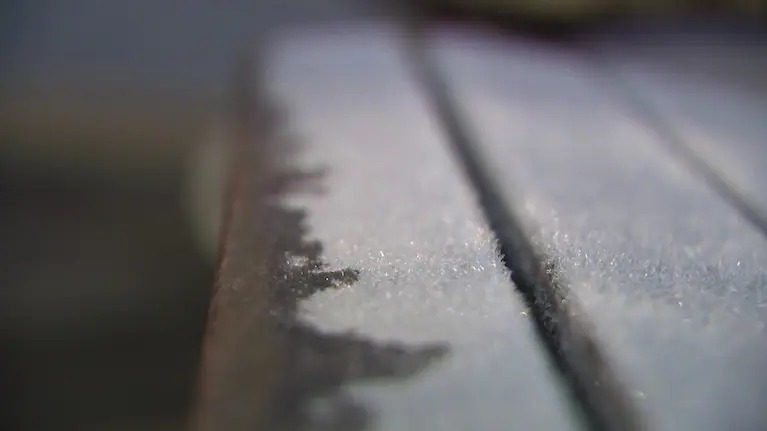
The figures matter because air temperature is only part of the winter story. Pawley noted that ground temperatures can run up to 4C colder than the overnight air temperature. That means frost risk can be sharper than a headline reading suggests, especially for drivers, growers, farmers and people leaving early for work. A thermometer at eye level and a frozen patch on a shaded driveway can tell different stories.
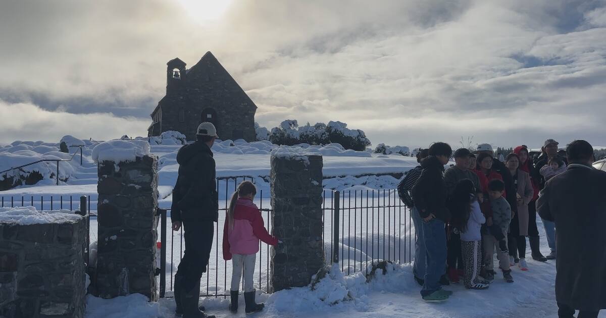
For Lake Tekapo and inland Canterbury, minus 12.5C is a reminder of how exposed high-country communities are to clear, calm winter nights. The same conditions that produce spectacular frosts and cold-sky landscapes can also freeze water systems, stress stock, challenge road users and increase heating demand. Visitors often arrive for scenery, snow and dark-sky tourism, but local residents and businesses still have to manage the practical side of deep cold.
The weather pattern was expected to shift early in the week as northwesterlies dragged warmer air across the country ahead of a front moving in from the Tasman Sea. Pawley said Christchurch was forecast to reach 17C on Tuesday before an overnight low of 8C early Wednesday. That kind of jump can feel dramatic after hard frost, and it can bring its own issues if warmer air arrives with wind, rain or changing road conditions.
The sharp regional spread also matters for transport and tourism planning. A visitor leaving Christchurch for Tekapo, Mount Cook or Queenstown can move from urban frost into much more severe inland conditions within a few hours. Rental-car drivers, campervan travellers and weekend skiers need to treat inland forecasts as their own forecast, not as an extension of conditions at the airport. The coldest number may belong to one town, but the risk pattern reaches across routes, bridges, shaded roads and exposed rural properties.